Detailed Program
Time Group 1: 06:00 – 10:00 (UTC) 24 August
Local Time:| Opening | |
|
Keynote Speech 1: Urban Computing: Building Intelligent Cities Using AI and Big Data [Details]
Yu Zheng (JD.COM) |
Research Track (Session 1)
Main Session Chair: Jieming Shi (The Hong Kong Polytechnic University)Backup Session Chair: Bo Tang (Southern University of Science and Technology)
|
NALMO: A Natural Language Interface for Moving Objects Databases (Best Paper Candidate)
Xieyang Wang, Jianqiu Xu, and Hua Lu |
|
|
Metro Maps on Flexible Base Grids (Best Paper Candidate)
Hannah Bast, Patrick Brosi and Sabine Storandt |
|
|
Privacy-Preserving Synthetic Location Data in the Real World
Teddy Cunningham, Graham Cormode and Hakan Ferhatosmanoglu |
|
| Break | |
|
Where have all the larvae gone? Towards Fast Main Pathway Identification from Geospatial Trajectories
Carola Trahms, Patricia Handmann, Willi Rath, Martin Visbeck, and Matthias Renz |
|
|
Geolocating Traffic Signs using Large Imagery Datasets
Kasper F. Pedersen and Kristian Torp |
|
|
Effective Traffic Forecasting with Multi-Resolution Learning
Abdullah Aldwyish, Egemen Tanin, Hairuo Xie, Shanika Karunasekera and Kotagiri Ramamohanarao |
Time Group 2: 14:00 – 18:15 (UTC) 24 August
Local Time:|
Keynote Speech 2: The practicalities of multidisciplinary research: lessons from COVID-19 [Details]
Amira Roess (George Mason University) |
Research Track (Session 2)
Main Session Chair: Sara Migliorini (Università degli Studi di Verona)Backup Session Chair: Arpan Sainju (Middle Tennessee State University)
|
A Novel Indexing Method for Spatial-Keyword Range Queries (Best Paper Winner)
Panagiotis Tampakis, Dimitris Spyrellis, Christos Doulkeridis, Nikos Pelekis, Christos Kalyvas, and Akrivi Vlachou |
|
|
Spatial Skyline Queries on Triangulated Irregular Networks
Yuta Kasai, Kento Sugiura, and Yoshiharu Ishikawa |
|
|
Time-Constrained Indoor Keyword-aware Routing (Best Paper Candidate)
Harry Kai-Ho Chan, Tiantian Liu, Huan Li, and Hua Lu |
Demo Track
Main Session Chair: Harry Kai-Ho Chan (Roskilde University)Backup Session Chair: Da Yan (The University of Alabama at Birmingham)
|
CACSE: Context Aware Clustering of Stellar Evolution
Xu Teng, Adam Corpstein, Joel Holm, Willis Knox, Becker Mathie, Philip Payne, Ethan Vander Wiel, Prabin Giri, Goce Trajcevski, Aaron Dotter, Jeff Andrews, Scott Coughlin, Ying Qin, Juan Gabriel Serra-Perez, Nam Tran, Jaime Roman-Garja, Konstantinos Kovlakas, Emmanouil Zapartas, Simone Bavera, Devina Misra and Tassos Fragos |
|
|
Tell Me What Air You Sense/Breath, I Tell You Where You Are
Hafsa El Hafyani, Mohammad Abboud, Jingwei Zuo, Karine Zeitouni, and Yehia Taher |
|
|
Geo-Quantities: A Framework for Automatic Extraction of Measurements and Spatial Context from Scientific Documents
Thorge Petersen, Muhammad Asif Suryani, Christian Beth, Hardik Patel, Klaus Wallmann and Matthias Renz |
|
|
MaSEC: Discovering Anchorages and Co-movement Patterns on Streaming Vessel Trajectories (Best Demo Winner)
Andreas Tritsarolis, Yannis Kontoulis, Nikos Pelekis, and Yannis Theodoridis |
Time Group 3: 21:00 – 01:20 (UTC) 24 - 25 August
Local Time:|
Keynote Speech 3: Emerging trends in GeoAI based spatiotemporal analytics for geospatial data [Details]
Dalton Lunga (Oak Ridge National Laboratory) |
Research Track (Session 3) and Vision Track
Main Session Chair: Jia Yu (Washington State University)Backup Session Chair: Jiamin Lu (Hohai University)
|
Mining High Resolution Earth Observation Data Cubes (Vision Paper)
Andreas Züfle, Konrad Wessels, and Dieter Pfoser |
|
|
Probabilistic Deep Learning for Electric-Vehicle Energy-Use Prediction
Linas Petkevičius, Simonas Šaltenis, Alminas Čivilis, and Kristian Torp |
|
|
SPRIG: A Learned Spatial Index for Range and kNN Queries
Songnian Zhang, Suprio Ray, Rongxing Lu, and Yandong Zheng |
|
|
Clustering of Adverse Events of Post-Market Approved Drugs
Ahmed Askar and Andreas Zufle |
|
|
Spatial Dimensions of Algorithmic Transparency: A Summary
Jayant Gupta, Alexander Long, Corey Xu, Tian Tang and Shashi Shekhar |
Industrial Track
Main Session Chair: Jing (David) Dai (Google)Backup Session Chair: Amr Magdy (University of California, Riverside)
|
Sequential Recommendation in Online Games with Multiple Sequences, Tasks and User Levels
Si Chen, Yuqiu Qian, Hui Li, and Chen Lin |
|
|
Attribute Propagation for Utilities
Dev Oliver, Petko Bakalov, Sangho Kim, and Erik Hoel |
| Closing Remarks |
Invited Talks
 |
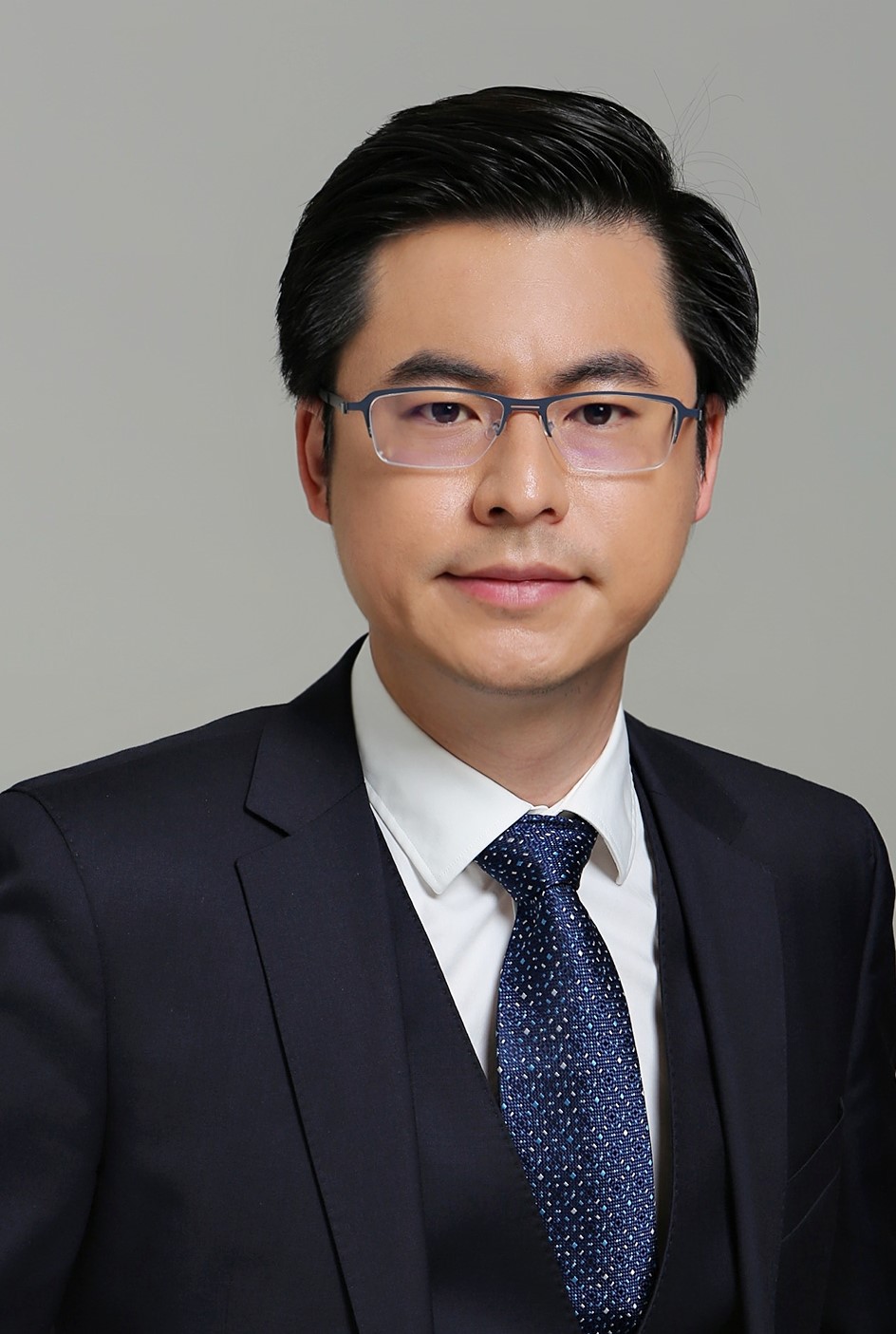
Yu Zheng
Vice President of JD.COM Website: http://urban-computing.com/yuzheng |
Keynote Speech 1: Urban Computing: Building Intelligent Cities Using AI and Big Data |
|
Abstract: |
|
| Urban computing connects ubiquitous sensing technologies, advanced data management, and analytics models, and novel visualization methods, to create win-win-win solutions that improve urban environment, life quality, and city operation systems. This talk presents the vision and framework of urban computing, introducing the challenges and the state-of-the-art solutions in each layer of the framework. Based on the vision of urban computing, we have built an intelligent city operation system which has been deployed in over 20 cities as a digital foundation to empower Big Data-driven applications, such as logistic optimizations, traffic/crowd flow predictions, community demand and supply predictions, hazardous chemical management, and public resource allocations. | |
Biography: |
|
| Dr. Yu Zheng is the Vice President of JD.COM and head JD Intelligent Cities Research. Before Joining JD.COM, he was a senior research manager at Microsoft Research. He currently serves as the Editor-in-Chief of ACM Transactions on Intelligent Systems and Technology and has served as the program co-chair of ICDE 2014 (Industrial Track), CIKM 2017 (Industrial Track) and IJCAI 2019 (industrial track). He is also a keynote speaker of AAAI 2019, KDD 2019 Plenary Keynote Panel and IJCAI 2019 Industrial Days. His monograph, entitled Urban Computing, has been used as the first text book in this field. In 2013, he was named one of the Top Innovators under 35 by MIT Technology Review (TR35) and featured by Time Magazine for his research on urban computing. Zheng was named an ACM Distinguished Scientist in 2016 and elevated to an IEEE Fellow in 2020 for his contributions to spatio-temporal data mining and urban computing. | |
 |
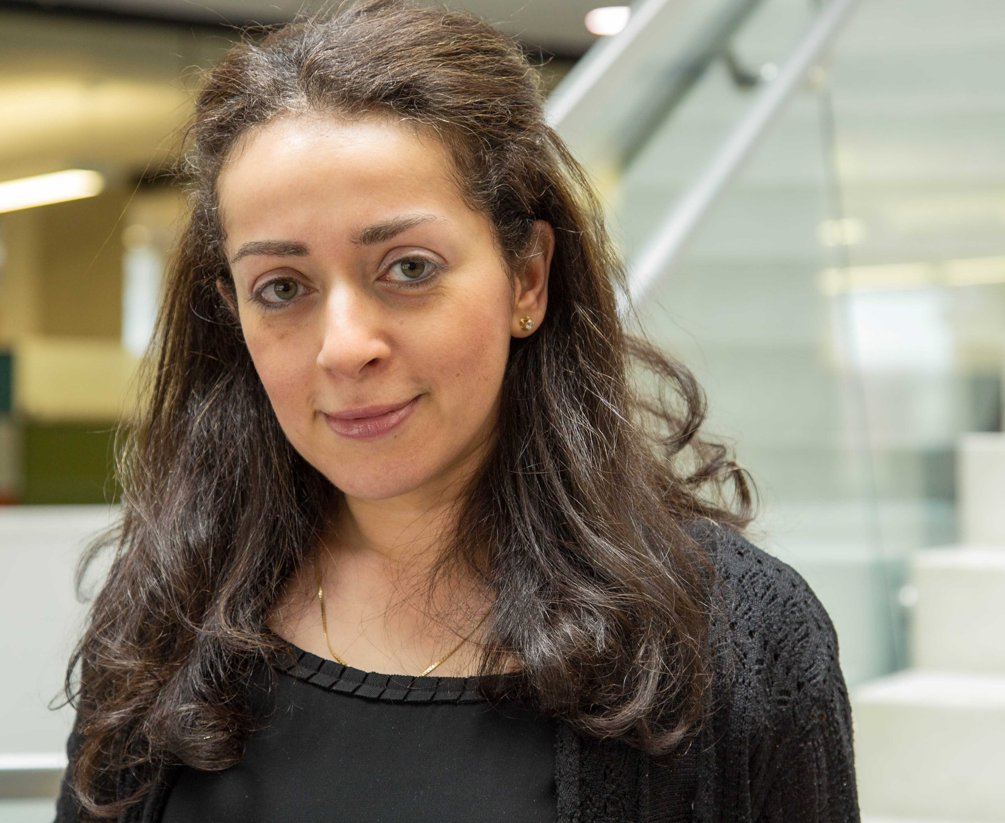
Amira Roess
Professor of Global Health and Epidemiology Website: https://chhs.gmu.edu/profiles/aroess |
Keynote Speech 2: The practicalities of multidisciplinary research: lessons from COVID-19 |
|
Abstract: |
|
| Emerging zoonotic infectious diseases have long been recognized for their potential to lead to catastrophic morbidity and mortality, to disrupt global economies and to shape history. Pronouncements of the need to develop multi-disciplinary research programs to address this challenge have been made for over 40 years and yet the movement towards meaningful multi-disciplinary research has proceeded at a glacial pace until recently. In this talk we will review the history of zoonotic diseases, coronavirus pandemics and the current state of public health preparedness and responses. We will discuss COVID-19 research and practice challenges that might just only be addressed using multi-disciplinary approaches. | |
Biography: |
|
| Dr. Roess is a professor of Global Health and Epidemiology at George Mason University's College of Health and Human Services, Department of Global and Community Health. She is an epidemiologist with expertise in infectious diseases epidemiology, multi-disciplinary and multi-species field research. Dr. Roess currently oversees several studies to understand emergence and transmission of zoonotic infectious diseases globally, including the emergence and transmission of Campylobacter (with support from The Bill and Melinda Gates Foundation), MERS-Coronavirus (with support from the US National Science Foundation), and the development of the microbiome during the first year of life. She studies breastfeeding patterns and their association with future health disparities and has also studied the impact of hurricanes on morbidity and mortality in the United States, links between food animal production and emerging infectious and zoonotic disease emergence globally, and mHealth (especially apps) technology integration and evaluations to reduce the impact of infectious diseases outbreaks, promote health care and health reduce disparities.
Dr. Roess holds a PhD in global disease epidemiology and control from Johns Hopkins University. Dr. Roess served as the Science Director for the Pew Commission on Industrial Food Animal Production at Johns Hopkins, and was an Epidemic Intelligence Service (EIS) officer at the CDC. |
|
 |
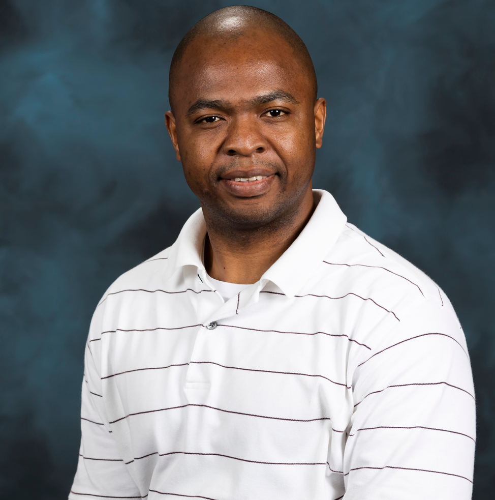
Dalton D Lunga
Scientist |
Keynote Speech 3: Emerging trends in GeoAI based spatiotemporal analytics for geospatial data |
|
Abstract: |
|
| The advancements of Earth observation sensing technologies and high-performance computing hardware continues to create opportunities for new use-inspired transformative R&D that is impacting some of the complex societal challenges including disaster mapping, poverty mapping, infrastructure mapping, food security, change monitoring, and energy management. This talk will provide an overview of ORNL GeoAI activities. We will revisit emerging trends in GeoAI based spatiotemporal analytics. Our discussion will highlight machine learning impacts in infrastructure mapping with satellite data, geospatial-driven natural language processing challenges for image understanding and other tools for spatiotemporal exploration and analysis of the largest known repository of open-source data. We will conclude by discussing current and future activities looking at domain generalization and adaptation with GeoAI tools, and challenges impeding scalable and searchable GeoAI products. | |
Biography: |
|
| Dalton is currently a research scientist in machine learning driven geospatial image analytics and the group leader for GeoAI at Oak Ridge National Laboratory (ORNL). In this role he leads geospatial science research and deploys machine learning and computer vision techniques in high performance computing environments, focusing on creating geospatial-based data layers of interest to various remote sensing applications e.g., enable accurate population distribution estimates, global gravity mapping with AI and damage mapping for national security needs. He currently conducts research and development in machine learning techniques and advanced workflows for handling large volumes of geospatial data. Prior to ORNL, Dalton worked as a senior machine learning research scientist at the council for scientific and industrial research in South Africa on a variety of projects. He received his PhD in electrical and computer engineering from Purdue University, West Lafayette as a Fulbright scholar. | |

